
Přejít na hlavní navigaci Přejít na změnu jazyku Přejít na vyhledávání


  • Difficulty: easy
  • Recommended bike: MTB / trekking bike
  • Distance: 22 km
  • Total ascent: 333 m
  • Duration: approx. 2 hours

View route on map


10,5 km - surfaced roads

5,1 km - surfaced access roads

6,4 km - unsurfaced forest tracks and field tracks

Bike route from Meziměstí via Mieroszów to Teplice nad Metují

An easy, leisurely ride along quiet roads, surfaced access roads and unsurfaced forest and field tracks.

“Mieroszów Route”

Meziměstí – Vižňov – Mieroszów – Teplice nad Metují

Description of the route

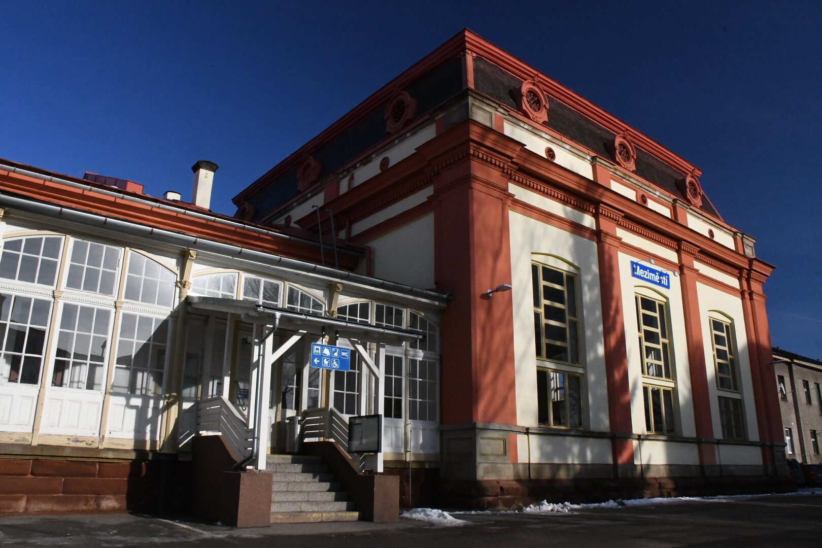
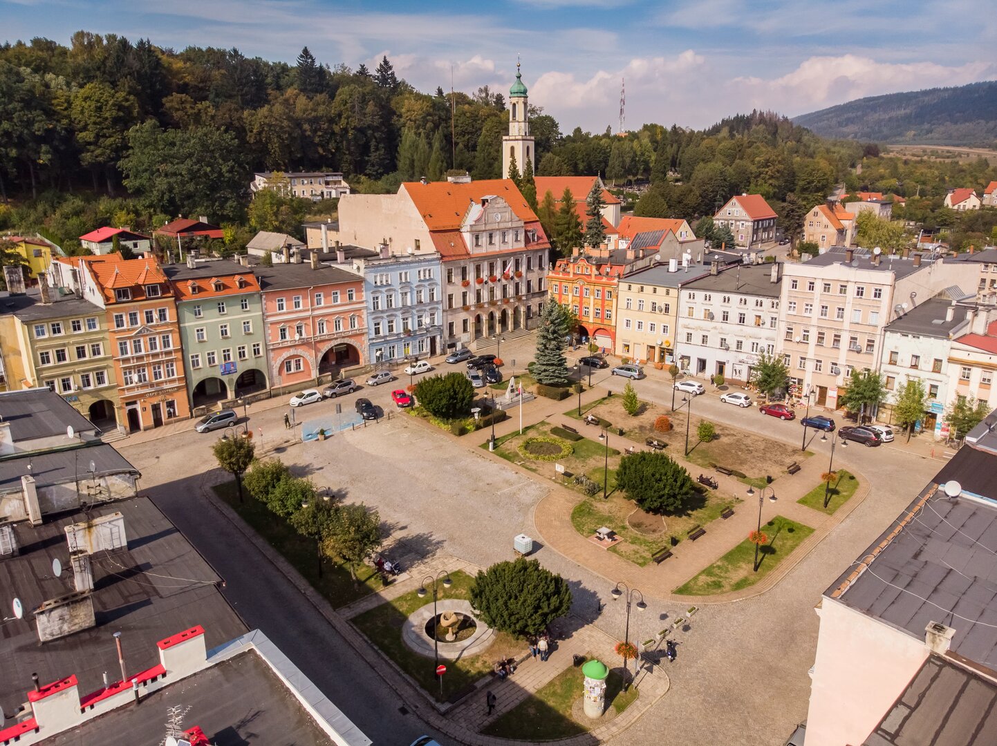
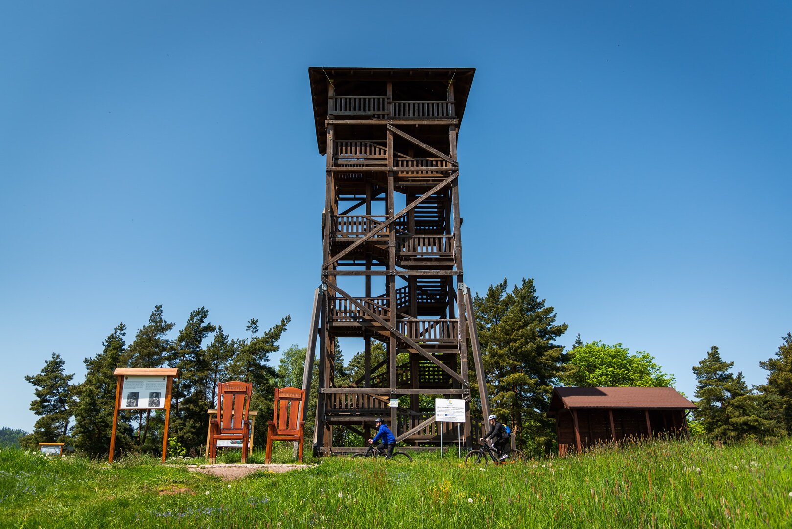
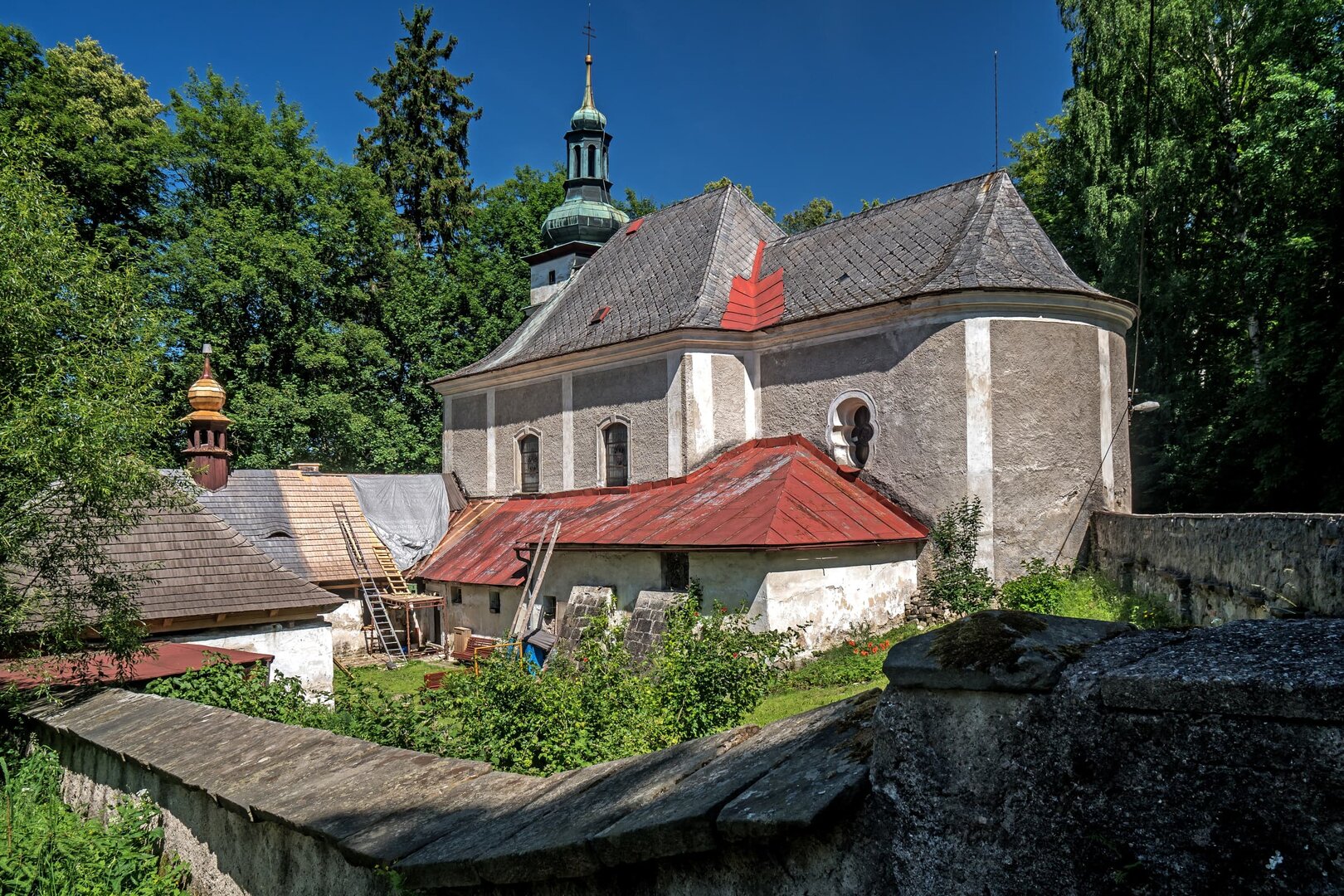
The route begins at Meziměstí railway station and initially follows an unmarked track alongside the railway line. It then continues along a surfaced track to the village of Starostín. Turn right there and climb gently along the paved access road to the Church of St Anne in Vižňov. Turn left and descend through Nowe Siodło into Mieroszów. Go past the sports complex and take the footbridge across the river to reach the square. From the Church of St Michael the Archangel, ride up into the town park and through it to the lookout tower. Go down to the main road, then follow waymarked route no. 4020 uphill to the border crossing above Zdoňov. Go past the Loděnice campsite and continue approximately 300 metres towards Zdoňov. Turn left onto route no. 4036 and follow the forest track to Buková hora. Continue along the unsurfaced track to Horní Teplice. From there, it is an easy ride to the main square in Teplice nad Metují and the Teplice nad Metují město railway stop. If you have time, you can also visit the Church of Our Lady Help and its wooden Ivanite Hermitage.

Virtuální prohlídka

Vyhledat místo


EN