
4,4 km - unsurfaced forest tracks and field tracks
Bike route from Machov via Karlów and Bor Mesa
A moderately challenging route through the beautiful, unspoilt countryside surrounding Machov and Poland’s Stołowe Mountains National Park.
“Machov Circuit”
Machov – Karlów – Pstrążna – Žďárky – Machov
Description of the route
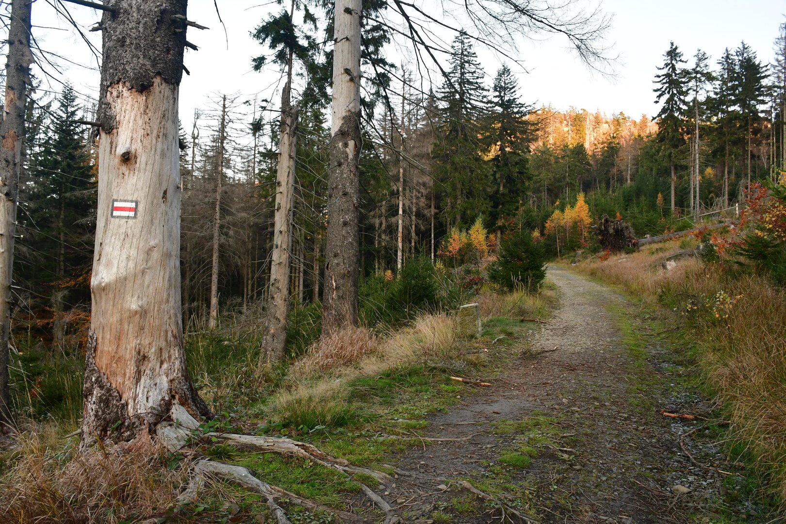
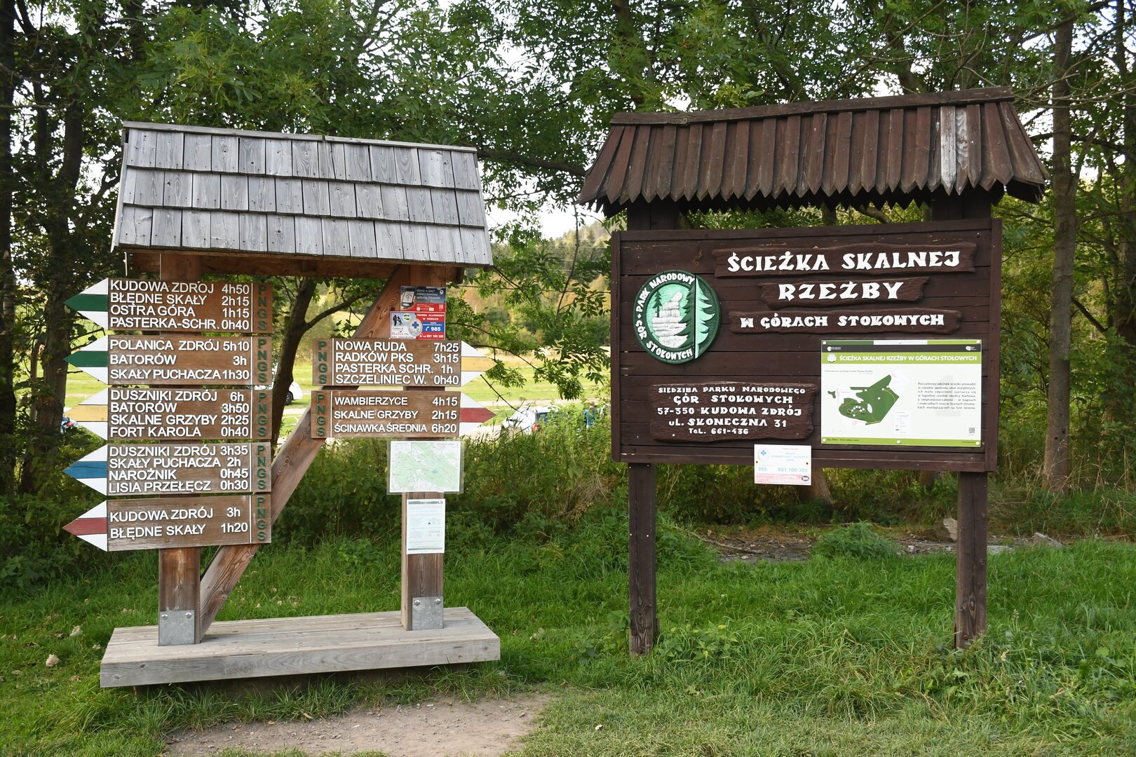
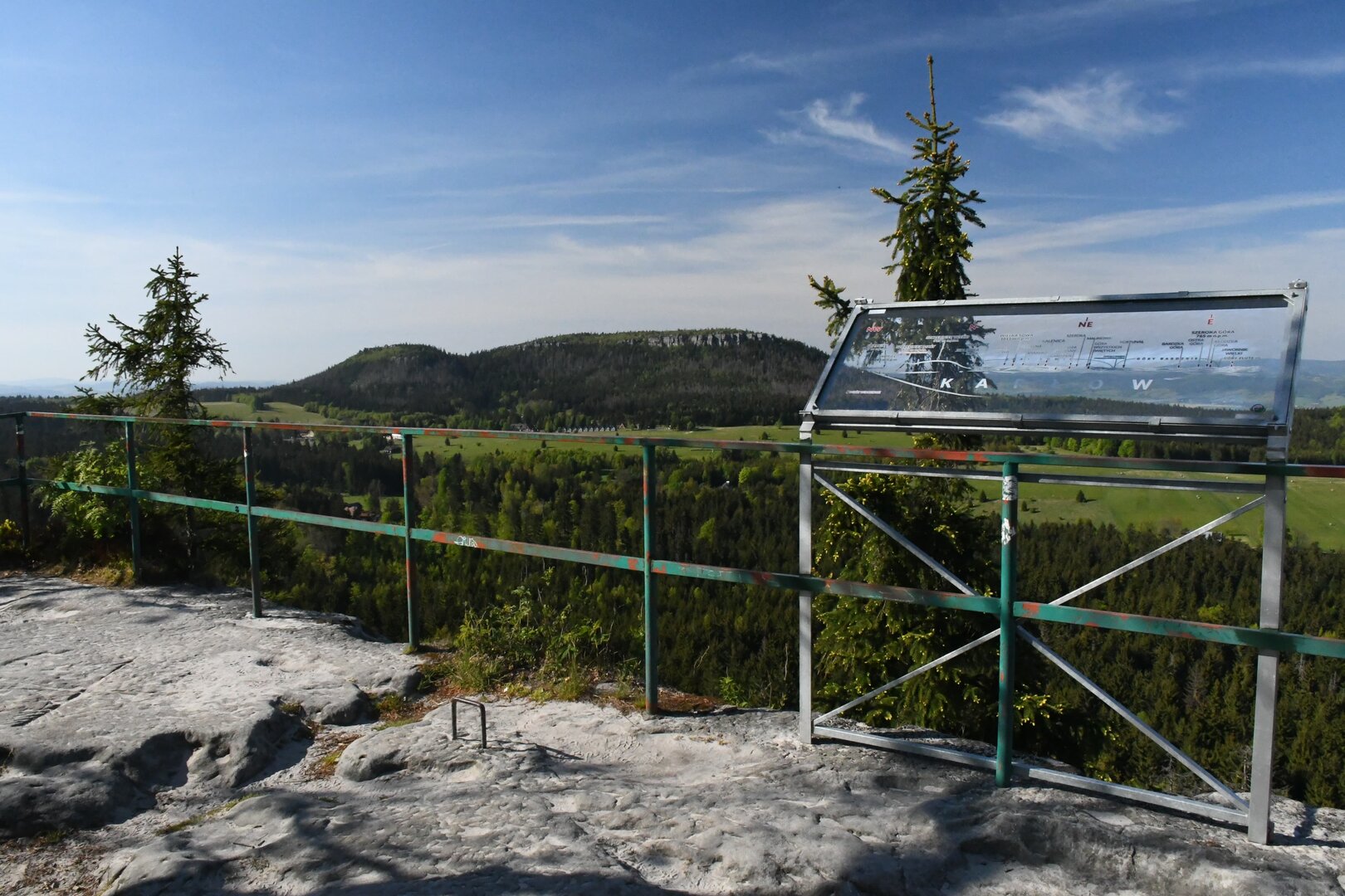
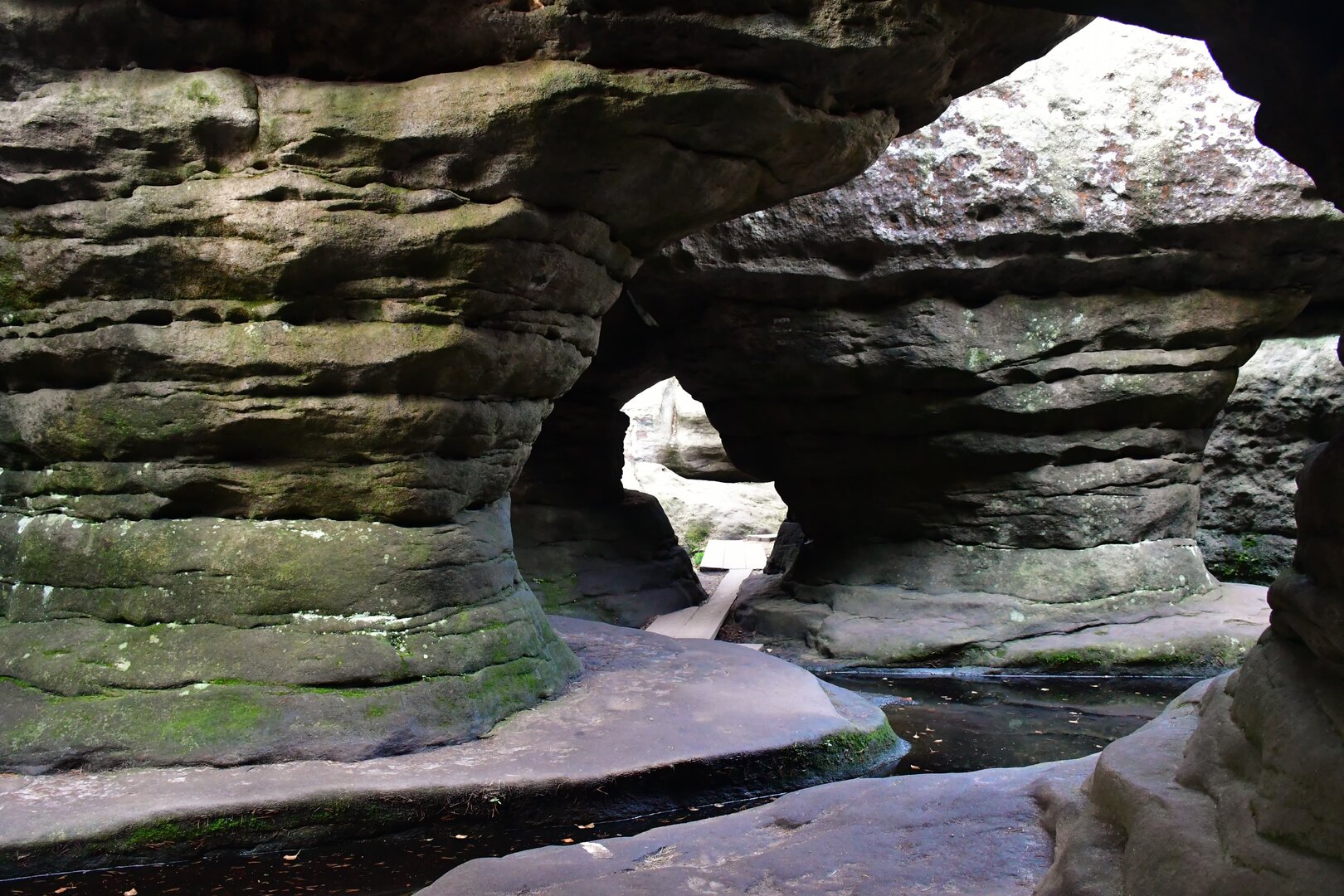
The route begins at the tourist car park just below Machov’s main square. From there, follow cycle route no. 4000 uphill through Machovská Lhota, passing the popular U Lidmanů restaurant and continuing upstream alongside the Trnkava, also known as the Machov stream. A series of winding trails through the forest takes you onto the slopes of Mount Bor (Skalniak), a distinctive table mountain. Continue beneath the crags of Ptasie Skały to Karlów, then follow the road uphill to Lisia Przełęcz, below the ruins of Fort Karola. A long, gradual descent brings you to the YMCA car park. Turn right there and go up along the minor road to the viewpoint beside the entrance to the Błędne Skały (Errant Rocks) sandstone labyrinth. Descend along the forest track to route no. 4095, then follow the winding route down through the valley of the Czermnica stream and through the hamlet of Pstrążna to the open-air museum, which features a collection of historic rural buildings. Continue along route no. 4281, passing the well-preserved building of the former Vilemína coal mine and the remains of its overgrown spoil heaps, to the village of Žďárky. There, turn right and follow the unmarked track uphill beside the Brlenka stream, passing through the hamlets of Sedmákovice and Záhoří. At the Pod Machovskými končinami trail junction, take the field track downhill to Machov. A final gentle climb to the main square brings you back to the starting point.
Naše webové stránky používají cookies. Pomáhají ke správné funkci stránek a lepšímu uživatelskému zážitku. Využíváním našich služeb s jejich používáním souhlasíte.