“Wałbrzych Trail”
Broumov – Křinice – Jetřichov – Ruprechtice – Łomnica – Grzmiąca – Walbrzych
Description of the route
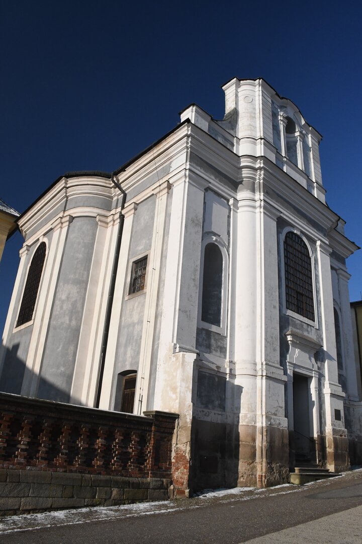
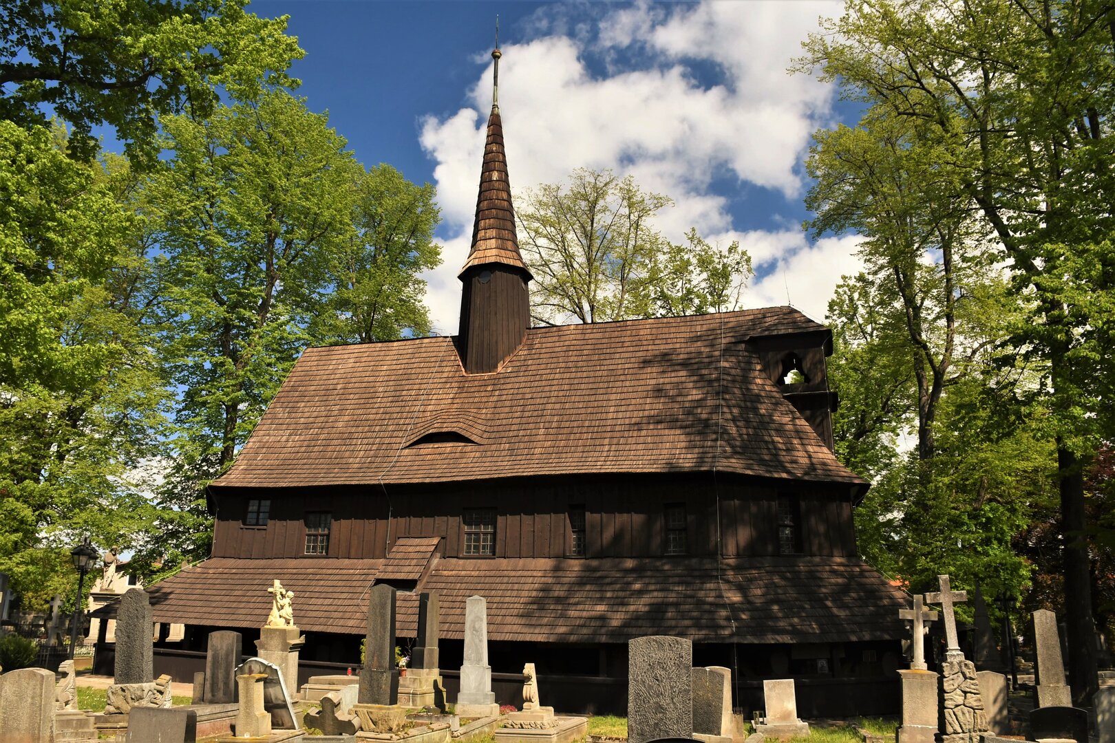
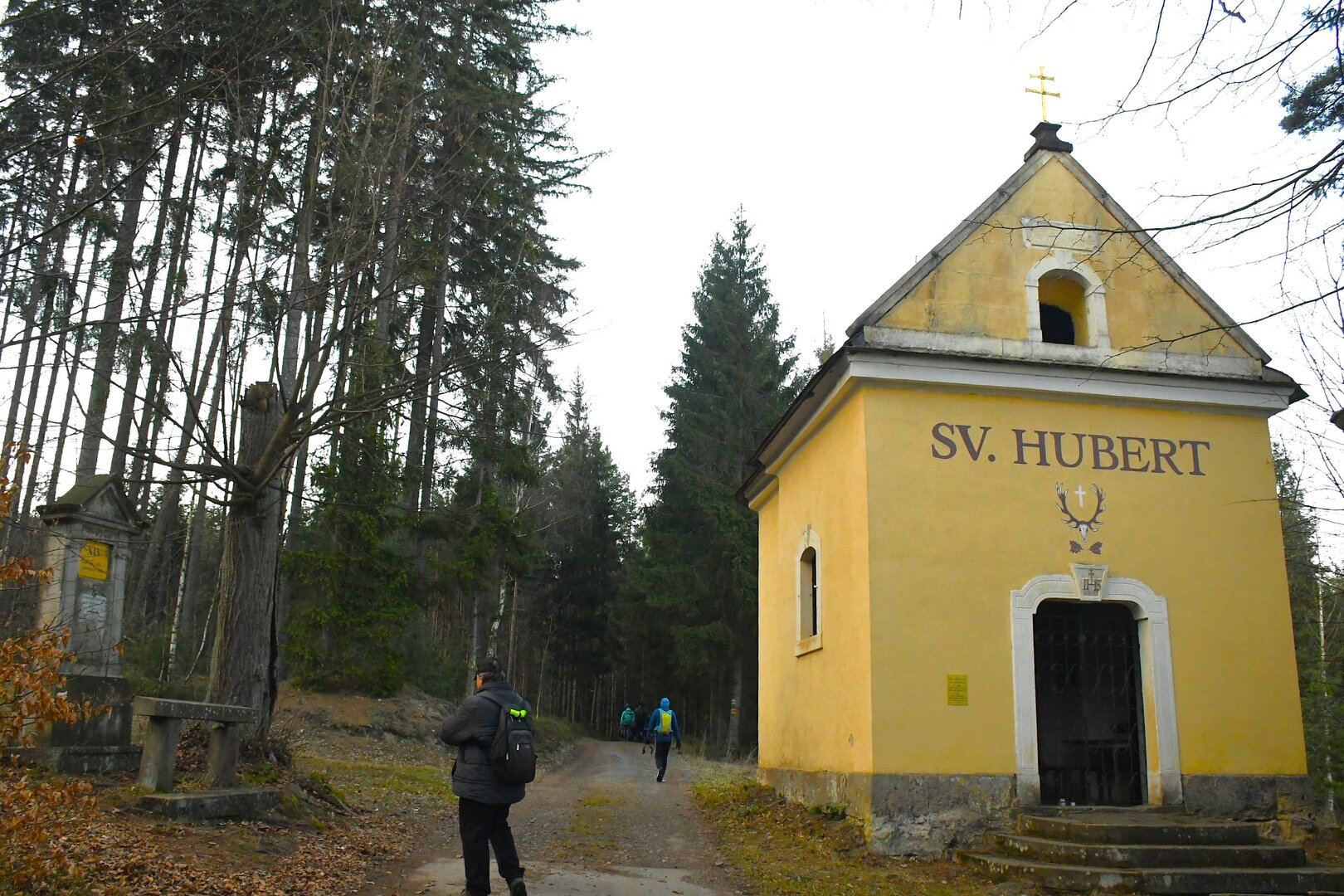
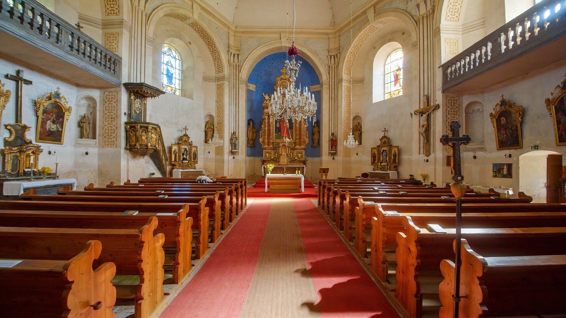
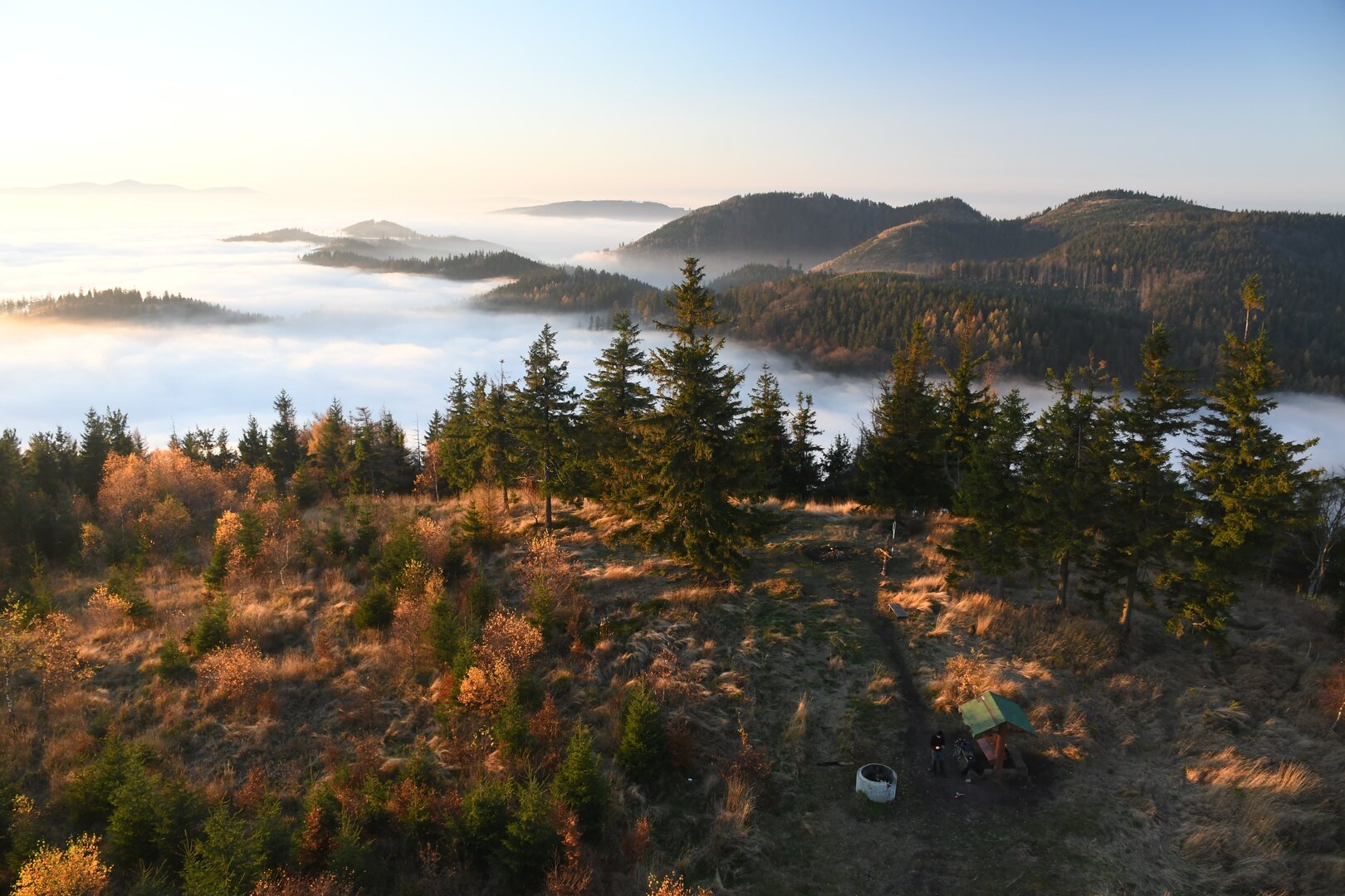
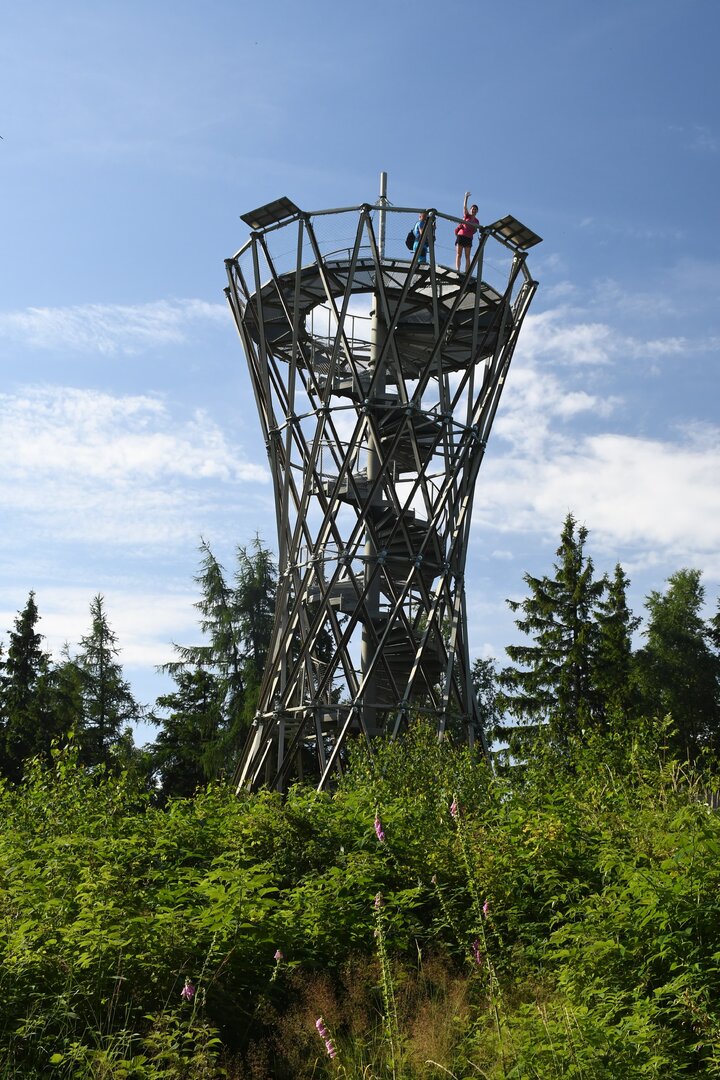
The route begins at Broumov railway station. Follow cycle route no. 4148 towards Křinice and turn right at the wooden cemetery Church of Our Lady. Continue along Na Pláni and Větrná streets until you join the cycle path, which crosses open fields, passes the wooden Teepee lookout, and leads to the municipal office in Křinice. There, join route no. 4000 and follow it through Křinice to the hamlet of Amerika. Continue along the foot of the Broumov Walls, passing the Chapel of St Hubert and the Křinice Stations of the Cross, until you reach the Pod Pasy hiking trail junction. Turn right, then, after approximately 200 metres, turn left off the main road. Follow the minor road to Jetřichov. At the U Suchánků inn, turn right and ride through the village. After crossing the bridge over the Stěnava River, follow route no. 4020 for a short distance to the Baroque Church of St James the Greater. Around 300 metres farther on, join route no. 4002 and follow it through Ruprechtice. From the upper end of the village, a demanding ascent along forest tracks takes you to the saddle beneath Ruprechtický Špičák. From there, follow the yellow waymarks. After 150 metres or so, turn right onto a short, unmarked section of forest track. This brings you to the blue cycle route and then to route G3. Follow that downhill to the Radosna junction, then turn left and stay on route G3 until you reach the cycle route junction beside the bus terminus in Łomnica. Turn left onto the black G5 route and follow it through the valley of the Złota Woda stream. The route then traverses the slopes of Gomólnik Mały before reaching a hiking trail junction with scenic views. Continue straight ahead, descending gently into the valley of the R-20 stream. Turn right before the small bridge, then ride past the wooden cemetery Church of the Nativity of the Blessed Virgin Mary and through Grzmiąca until you reach the green G7 cycle route. Turn left off that onto the blue hiking trail and ride up over the summit of Sajdak to Przełęcz pod Wawrzyniakiem. A short descent followed by a long traverse through the forest takes you past Kazikowa Skała to another hiking trail junction. Turn right onto the blue hiking trail and follow it around the slopes of Borowa. An optional detour leads to the popular lookout tower on the summit. Continue via Przełęcz pod Borową to Kozia Przełęcz. From there, follow the yellow hiking trail down through the valley of the Ogorzelec stream to the outdoor swimming pool below the ruins of Nowy Dwór Castle. Finally, follow the waymarked cycle route through the hamlet of Podzamcze to Wałbrzych Główny railway station.

 NAZEV_PROJEKTU

.png)
.png)
.png)
.png)

.png)

