
 NAZEV_PROJEKTU
NAZEV_PROJEKTU
NAZEV_PROJEKTU
20,0 km - surfaced roads
5,5 km - surfaced access roads
A more demanding cycle route along quiet forest tracks and minor roads, with plenty of viewpoints and places to stop and rest.
Broumov – Meziměstí – Vižňov – Mieroszów – Grzędy – Boguszów-Gorce – Walbrzych
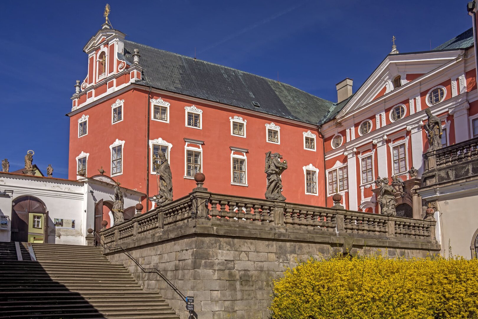
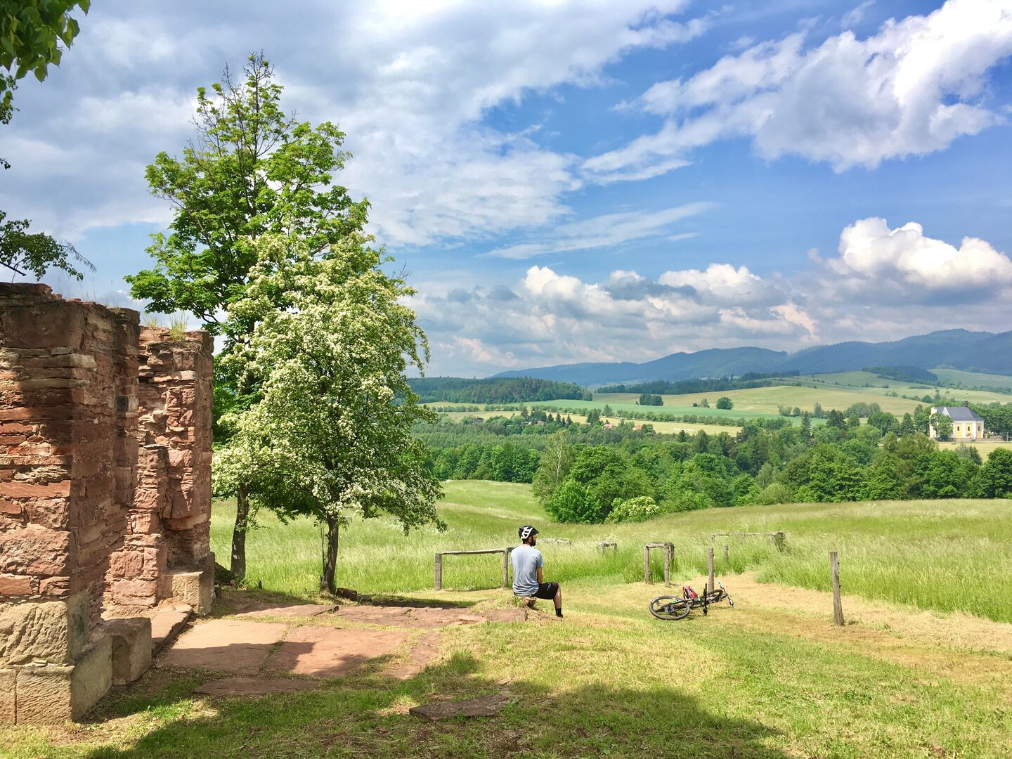
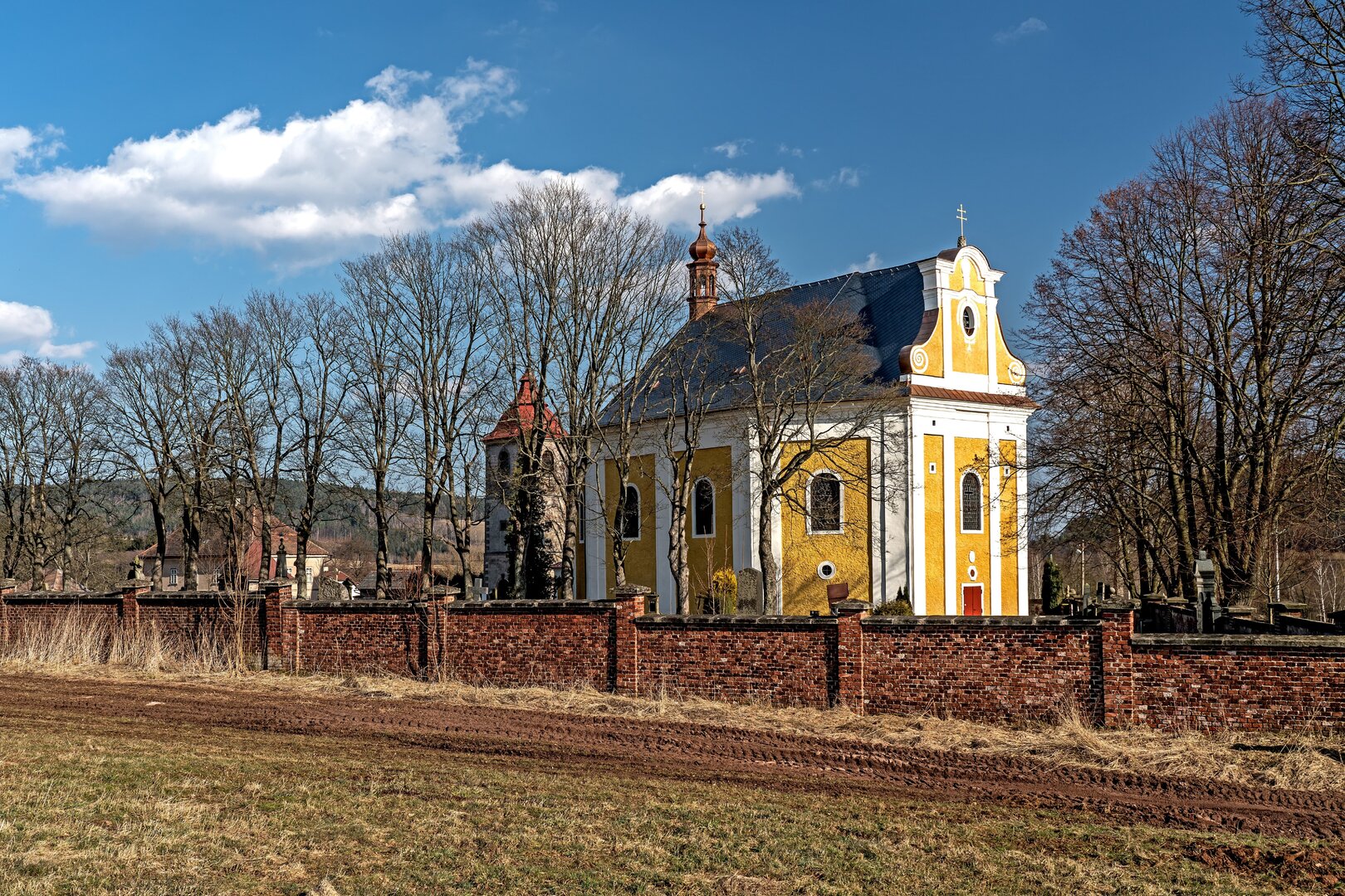
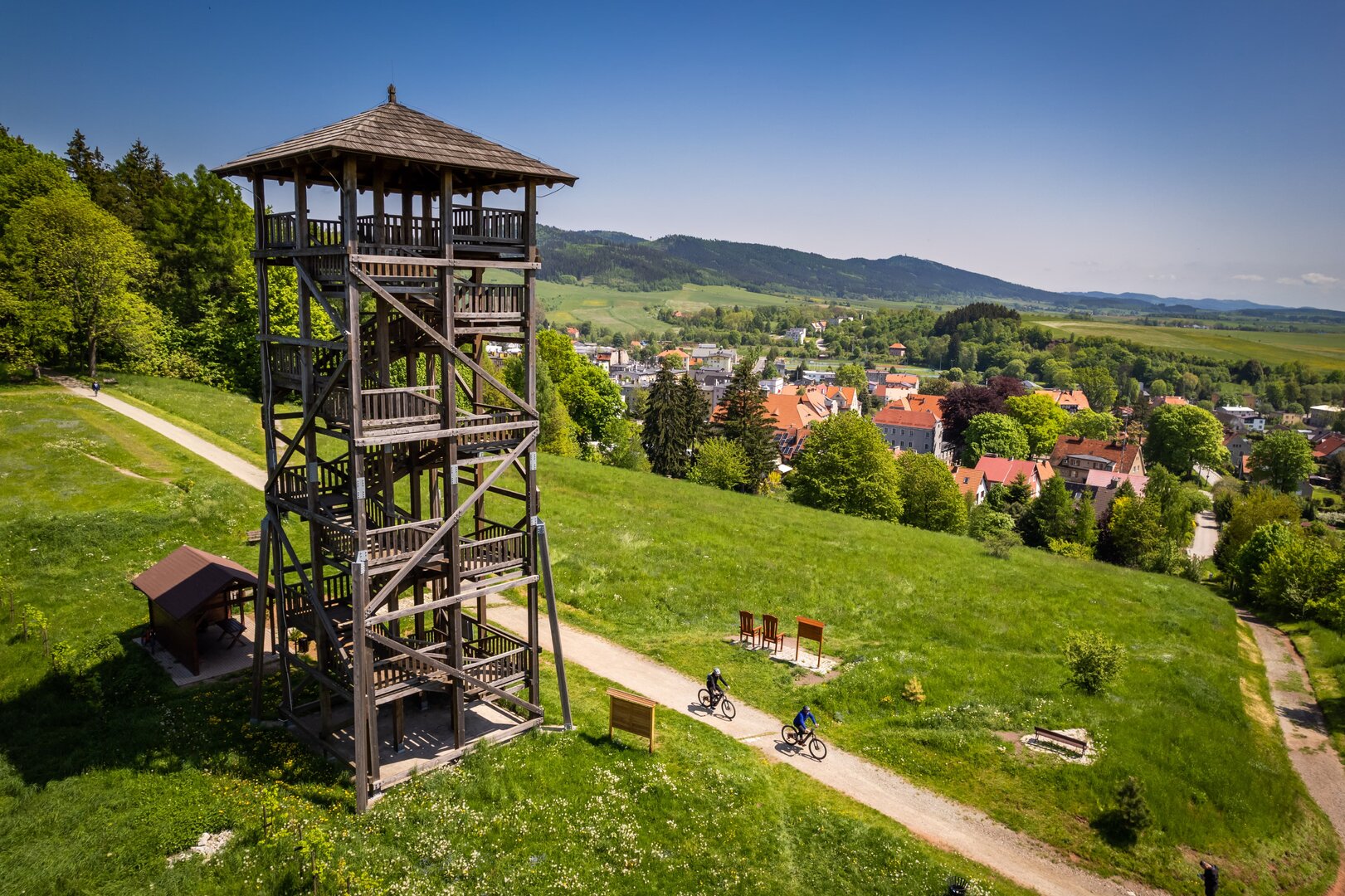
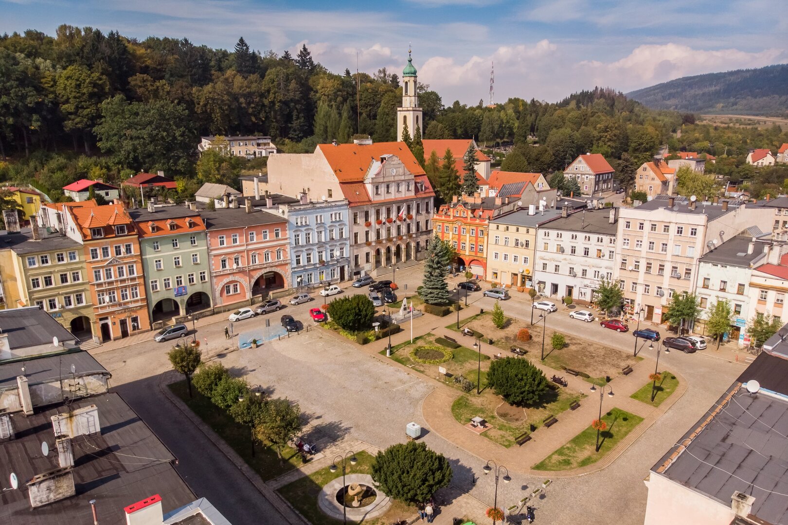
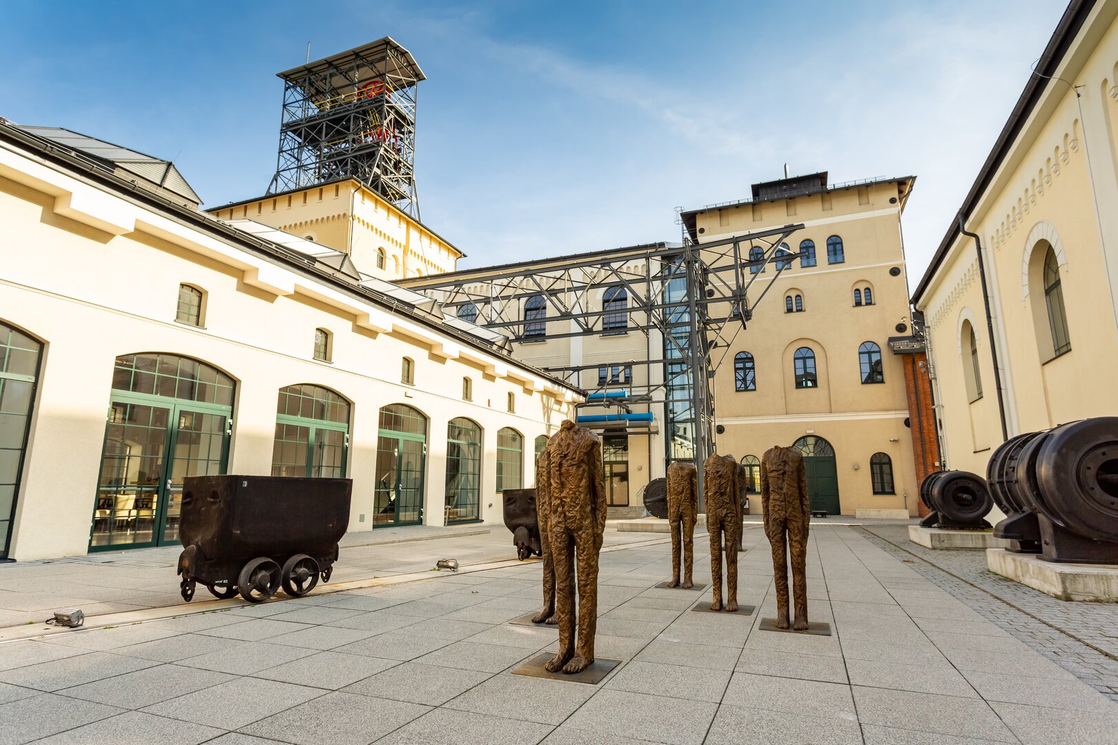
The route begins at Broumov railway station. After crossing the bridge over the Stěnava River, continue to the site of the former Lower Gate. From there, climb past the Baroque Church of St Wenceslas to Mírové náměstí, with its fountain and Marian column. Follow U Horní brány Street uphill to the municipal office, then take the red hiking trail through the Spořilov housing estate and out of town. Continue along the Saint James's Way and the scenic Hřebenovka ridge trail, crossing Mlýnský vrch on the way to the preserved ruins of Laudon’s Chapel above Jetřichov. Ride down to the bridge over the Stěnava River and join the marked route no. 4020. Follow it past the Church of St James the Greater in Ruprechtice to the privately owned Meziměstí Château. Turn right and go up the gentle slope through Vižňov to the Baroque Church of St Anne, beside which you will find the open-air geological exhibition of the Vižňov Intra-Sudetic Basin Geopark. Continue past the church along a local access road that also serves as a cycle path. Ride through Nowe Siodło and continue to the small town of Mieroszów. After the railway underpass, ride past the sports complex and cross the bridge over the Ścinawka River. Turn left and then right, following the straight road past the allotments as it climbs towards the Mieroszów lookout tower. Go through the town park to the cemetery, skirt around it and descend along Polna Street to Wysoka Street, which follows the river to Kowalowa. After crossing the river in Kowalowa, join the road towards Wałbrzych and follow it to the hamlet of Ługowina. Turn left and pass the Kowalowa inn, a commemorative apple tree and several springs. The Mieroszów Black Cycle Route then climbs through the valley along a forest track to just below the broad summit of Lesista Wielka. Where the track meets the red hiking trail, turn left and then take the next right. At the following junction, turn right off the red trail and go down along the unmarked track through the long valley between Sucha Góra and Wysoka. This brings you to the forest ponds at Grzędy, a notable local natural attraction. Follow the unsurfaced track to the road and continue into Grzędy, where you will pass the ruins of Konradów Castle. Follow the yellow hiking trail, first along a surfaced track and then along unsurfaced forest and field trails. The route passes through the Dolina Kozła gorge and by an old, overgrown quarry before descending to Stary Lesieniec, with its eclectic-style Church of St Barbara. Continue to follow the yellow markers along local roads through Boguszów-Gorce to Sobięcin Górny. Take the field track past the old ruined windmill and follow the gentle slope down to the bridge over the railway. Cross the bridge and continue along unmarked local roads through Sobięcin. Follow 1 Maja Street past the old Evangelical church, then take Aleksandra Puszkina Street to the railway viaduct. Just after that, turn left onto Gwarków Street. This leads past an old mine spoil heap to the modern, multifunctional industrial complex of the Old Mine Science and Art Centre, housed in the historic buildings of the former Thorez coal mine, also known as Fuchs and Julia.
Cyklotrasa z Broumova do Walbrzychu přes Kamenné hory

Naše webové stránky používají cookies. Pomáhají ke správné funkci stránek a lepšímu uživatelskému zážitku. Využíváním našich služeb s jejich používáním souhlasíte.

.png)
.png)
.png)
.png)

.png)

